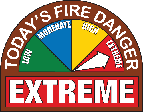
Red Flag WarningCurrently, we are under a RED FLAG WARNING. A red flag warning is a term used by fire-weather forecasters to call attention to limited weather conditions of particular importance that may result in extreme burning conditions. It is issued when it is an on-going event or the fire weather forecaster has a high degree of confidence that Red Flag criteria will occur within 24 hours of issuance. Red Flag criteria occurs whenever a geographical area has been in a dry spell for a week or two, or for a shorter period , if before spring green-up or after fall color, and the National Fire Danger Rating System (NFDRS) is high to extreme and the following forecast weather parameters are forecasted to be met:
1) a sustained wind average 15 mph or greater
2) relative humidity less than or equal to 25 percent and
3) a temperature of greater than 75 degrees F.
In some states, dry lightning and unstable air are criteria. A Fire Weather Watch may be issued prior to the Red Flag Warning.
Please remember that burning of any kind at this time is unauthorized.
Thank you for your help in keeping all of us safe!
|
|